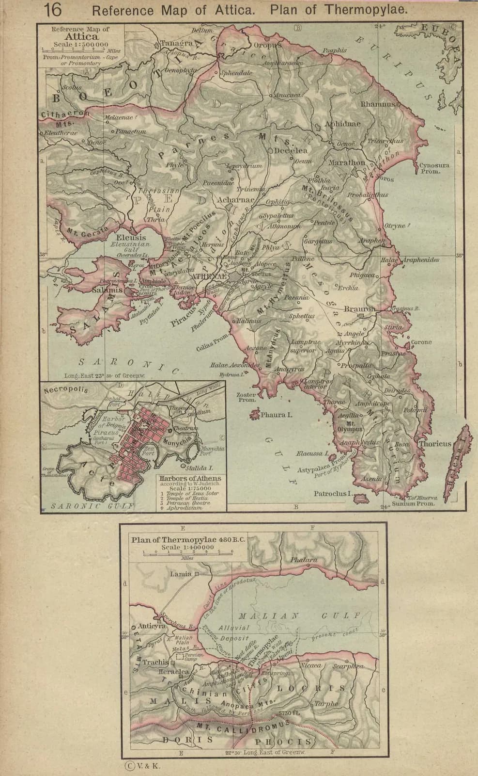
Attica, the territory of Athens, was a large peninsula whose unification under a single city was the foundation of Athenian power. The city itself, crowned by the Acropolis, lay a few miles inland; its lifeline was the Piraeus, the great harbour from which the fleet and the grain trade operated.
The Long Walls, built under Pericles, joined the city to the Piraeus in a single fortified system, making Athens effectively an island that could be supplied by sea even while its land was ravaged — the basis of Periclean grand strategy in the Peloponnesian War. Their demolition in 404 BCE marked the symbolic end of Athenian power.
Key locations
- The Acropolis — The sacred citadel, crowned by the Parthenon.
- The Agora — The civic and commercial heart of the city.
- The Pnyx — The hill where the citizen assembly met and voted.
- The Piraeus — The port of Athens and base of its fleet.
- The Long Walls — The fortifications joining the city to its port.